Back to: GEOGRAPHY SS3
Welcome to class!
In today’s class, we will be talking about satellite remote sensing. Enjoy the class!
Satellite Remote Sensing

Remote Sensing is defined as the act of obtaining information about an object without being in direct contact with the object.
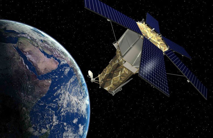
A satellite is an artificial body placed in orbit around the earth or on another planet to collect information or for communication.
Satellite remote sensing is a satellite that studies the earth’s surface and atmosphere.
Application
Satellite remote sensing can be applied in various field of life such as forestry, agriculture, environment, telecommunication, transportation etc.
Energy is the capacity to do work. Energy can take many forms such as light, heat or sound, and it can be transmitted between objects through three processes which are:
- Conduction: The objects are in direct physical contact. Energy is transferred from the high energy object to the low energy object until both objects are at the same energy level.
- Convection: This occurs in liquid and gases. It is based on currents that distribute energy throughout the volume of liquid or gas.
- Radiation: This does not require physical contact or the existence of a liquid or gas.
Environmental remote sensing systems focus on electromagnetic energy, which is a dynamic form of energy caused by the oscillation or acceleration of an electrical charge. All objects that have a temperature higher than absolute zero emit electromagnetic energy. The wavelength of the emitted energy is a function of temperature.
Almost all electromagnetic energy in the earth and its atmosphere is produced by the sun and is transmitted through the vacuum of space by radiation.
General evaluation
- What is remote sensing?
- What is a satellite?
- Mention the various ways satellite remote sensing can be applied.
- Explain energy.
- Explain satellite remote sensing.
Weekend assignment
- Which of these is not the relevance of remote sensing? (a) energy consumption (b) facilitates the study of features (c) information gathering from inaccessible areas (d) multidisciplinary application
- The class of remote sensing in which microwave length is used is referred to as (a) photogrammetry (b) radar (c) raster (d) satellite
- The following are characteristics of remotely sensed images except for (a) density (b) pattern (c) shape (d) tone
- A tectonic process that helps to reshape the earth’s surface include the following except (a) basin (b) earthquake (c) folding (d) vulcanicity
- The point of contact of two different air masses in the process of rainfall formation is called (a) depression (b) dew point (c) front (d) leeward side
Theory
- Mention two ways satellite remote sensing can be applied.
- State three processes through which energy can be transmitted.
In our next class, we will be talking about GIS Application. We hope you enjoyed the class.
Should you have any further question, feel free to ask in the comment section below and trust us to respond as soon as possible.
