Back to: GEOGRAPHY SS1
Welcome to class!
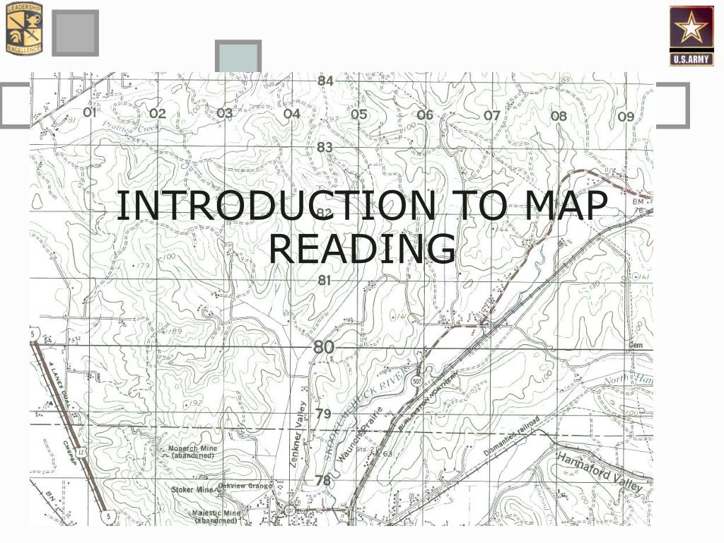
In today’s class, we will be talking about the introduction to map reading. Enjoy the class!
Introduction to Map Reading
Map work or map reading involves the ability to recognize conventional signs on a map and using the signs to interpret the map.
A map is a representation of the earth’s surface as it is seen from above on a paper. A large area of land e.g. town, village or even a whole country can be represented on one page of the paper.
Maps are of different types. They include
- Topographical Maps
- Atlas Maps
- Plan Maps and
- Sketch Maps
Map scale
The Scale of a map indicates the relationship between the distance of two points on a map and the actual distance on the ground. That is, the map scale is the ratio, proportion or relationship between a measurement on the map and the actual measurement on the ground. If the scale of a map is 2cm to 1km, it means that two centimetres on a map represent one kilometre on the ground.
Types of scale
We have three types of scale. They include Statement scale, Linear scale and Representative scale.
-
Statement scale:
This is a scale that is given in form of a statement and figures e.g. 1cm to 2km (means 1cm on the map represents 2km on the ground), 2cm to 1km (means 2cm on map is equal to 1km on the ground).
Question
If the scale of a map is 2cm to 1km, what is the ground distance if the distance between two towns, on the map is 10cm?
Solution
Map distance = 10cm
Ground distance =?
Map scale = 2cm to 1km
Since 2 cm = 1km
10 x 1 =?
10 x 1 = 2 x x (cross multiply)
10 = 2x
Therefore, x = 10 / 2= 5km
Evaluation
- Explain map work.
- What is a scale?
- State the types of scale.
-
Linear scale:
This is a line drawn to represent the relationship between the distances on the map and that of the actual distance on the ground. The linear scale is divided into two parts: primary divisions and secondary divisions. The primary division is the major division on the right side while the secondary division is the minor division on the left.
How to use a linear scale
- Measure the distance between the two places requested on the map either with a ruler or a thread.
- Take the distance measured in cm or inches to the scale and begin the measurement from the Origin marked zero (0) and stretch it to the right (Primary division). Where it ends represents the distance on the ground either in km or in miles.
- If the length is longer than the scale, first record the distance where the scale ends and then measure the remaining part again starting from zero (0) to the right and finally mark where the distance ends. Later add the first measurement with the last one.
- If any fraction is left which is far smaller than the major division, such fraction is taken to the Secondary division starting from zero (0) to the left. This length is finally added to the first.
-
Representative fraction:
Here, the scale is expressed in the form of a fraction or ratio. Thus, the distance on the map is the numerator and is always one (1) while the denominator stands for the distance on the ground. Both the numerator and the denominator are in the same unit.
E.g. 1: 100,000 1: 50,000 1: 200,000 etc.
Note:
1: 100,000 is the same as 1 cm to 1km while 1:50,000 is the same as 2cm to 1km or 1cm to 1/2km
How to use a representative fraction
- Note the two places involved
- Measure the distance between the two places
- Relate the distance measured to the scale
Question:
If the scale of a map is 1:50,000, What is the ground distance if the distance between two towns on the map is 10cm?
Solution
Map distance = 10cm
Ground distance =?
Map scale = 1:50,000 = 1cm = ½ km
:: 10cm = 5km
Ans = 5km
Size of a scale
The size of a scale may be large or small
- Small scale map: This shows a large area but cannot include a great number of details. Only very important features are shown.The larger the denominator of a scale, the smaller the scale E.g. 1:1,000,000; 1: 2,000,000; 1:250,000 etc.
- Large scale map: This shows a small area but with more details of the area and also important features are shown. The smaller the denominator of a scale, the larger the scale e.g. 1:5,000, 1:250 and 1: 20 etc.
Evaluation
Arrange the following scales in descending order:
1: 50,000 1:20,000 1: 200 1:3 000,000 1:500,000
General evaluation
- What is a map scale?
- Mention the three types of scale.
- Scale: 1:25,000 in R.F is equal to……….. in statement?
- Explain the mode of formation of sedimentary rocks.
- Give two examples of sedimentary rock.
Reading assignment
Read on introduction to map work in Essential Geography Pgs. 157-160.
Theory
Convert
- 1: 50,000 and
- 1: 150,000 to statement scales.
In our next class, we will be talking about Distances (Conversion, Direction and Bearing). We hope you enjoyed the class.
Should you any further question, feel free to ask in the comment section below and trust us to respond as soon as possible.